

Living in Seymour, CT
Seymour is a New Haven County town on the Naugatuck River with a Metro-North Waterbury Branch station, Route 8 and a downtown historic district first called Humphreysville.
Seymour at a glance
- Median sale price
- $436,950+6.6% vs last year 188 sales, last 12 months
- Property tax rate
- 28.64 mills town-wide, FY2027
- Estimated yearly tax
- ~$8,800 median-priced home
- Population
- 17,139 2024 Census estimate
- Land area
- 14.5 sq mi 1,180 per sq mi
What it is like in Seymour
Seymour is in New Haven County on the Naugatuck River. It borders Ansonia, Derby, Beacon Falls, Woodbridge, Oxford, Bethany and Shelton, and has 17,139 residents on 14.52 square miles of land area.
The land was part of Derby from 1642. The village at the Naugatuck falls was called Chusetown, then Humphreysville after David Humphreys, who built a woolen mill there in 1803 and brought the first Merino sheep to the United States in 1802. The railroad arrived in 1849, and residents petitioned to separate from Derby in 1850. Seymour was incorporated that May and named for Governor Thomas H. Seymour.
The river powered mills and factories, including the Kerite Company, which made telegraph cable, and the New Haven Copper Company. The August 1955 flood heavily damaged the downtown and industrial district. The Downtown Seymour Historic District and the Sanford-Humphreys House at 61-63 West Street are on the National Register of Historic Places.
Downtown Seymour sits along the Naugatuck River around Main Street. Main Street Antique Center at 127 Main Street and Seymour Antiques Company are downtown, and Zoi's Pizza Palace at 48 Main Street serves Greek-style pizza.
Open spaces in the facts file include Gary Park, French Memorial Park, Chatfield Park, Sochrin's Pond, Fountain Lake, Little Laurel Lime Park, Keith Mitchell Forest and the Great Hill block of Naugatuck State Forest. Seymour Pink is a local nonprofit supporting breast cancer efforts.
Getting around from Seymour
| Drive to | Time | Miles |
|---|---|---|
| Hartford | 56 min | 40 |
| New Haven | 23 min | 12 |
| Stamford | 55 min | 39 |
| New York City (Midtown) | 108 min | 75 |
| Boston | 179 min | 142 |
| Providence | 148 min | 116 |
| Bradley Airport (BDL) | 81 min | 56 |
Rail stations nearby
- Seymour 0.9 mi Metro-North
- Ansonia 2.9 mi Metro-North
- Beacon Falls 4 mi Metro-North
Highways and routes
Route 8 runs through Seymour. New Haven is 12 miles and about 23 minutes by car, Stamford is 39 miles and 55 minutes, and Hartford is 40 miles and 56 minutes. New York City (Midtown) is 75 miles and about 108 minutes, Bradley Airport is 56 miles and 81 minutes, and Boston is 142 miles and 179 minutes.
Seymour has its own Metro-North station on the Waterbury Branch, 0.9 miles from the town point in our data. Ansonia (Metro-North) is 2.9 miles away in a straight line and Beacon Falls (Metro-North) is 4 miles.
Schools in Seymour
4 public schools in Seymour School District. Which one serves an address depends on the district, so confirm with them.
Elementary 2
- Bungay
- Chatfield-LoPresti
Middle 1
- Seymour
High school 1
- Seymour High School
Grades, number of students. Hover a school for its address.
For report cards, enrollment trends and spending per student, look up Seymour School District on the state's EdSight site.
Source: National Center for Education Statistics, Common Core of Data. We do not rate or rank schools.
Eat, drink and explore in Seymour
Open Seymour in Google Maps →Eat and drink 2
-
Diner serving breakfast, lunch and dinner.
-
Pizzeria on Main Street serving Greek-style pizza, grinders, calzones and salads.
Parks, preserves and trails 13
Parks and open space © OpenStreetMap contributors. Places to eat and visit last checked October 2026. These are not paid placements; they are simply our selection. Hours and menus change, so check before you go.
Seymour housing market
Over the last 12 months, 188 homes sold in Seymour with a median sale price of $436,950 and a median of 20 days on market. There are 43 homes for sale right now.
Homes sold for a median of $243 per square foot. The typical home sold for 100% of its list price, and the median sale price is up 6.6% from the year before. At the current pace of sales, the homes for sale would last about 2.7 months.
Seymour's town-wide property tax rate is 28.64 mills (FY2027). Connecticut assesses homes at 70% of market value, so a median-priced home pays roughly $8,800 a year. Special taxing districts, such as fire districts, can add to this, and a home's actual assessment may differ from its sale price.
Source: SmartMLS, residential sales (single-family, condo and multi-family); mill rates: Connecticut Office of Policy and Management. Updated November 10, 2026.
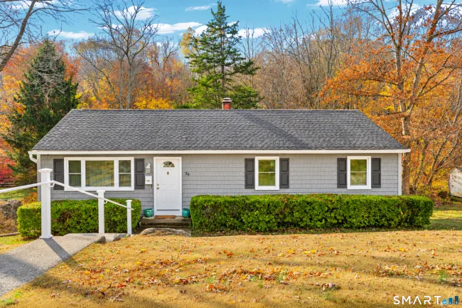
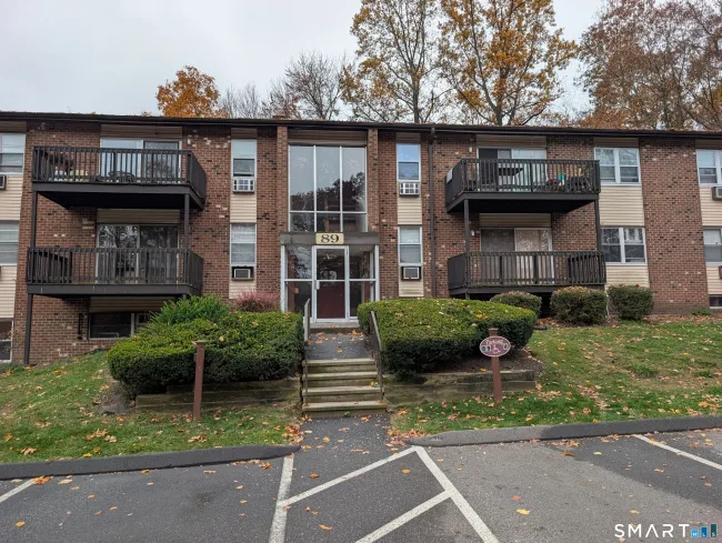
Homes for sale in Seymour
See all 43 →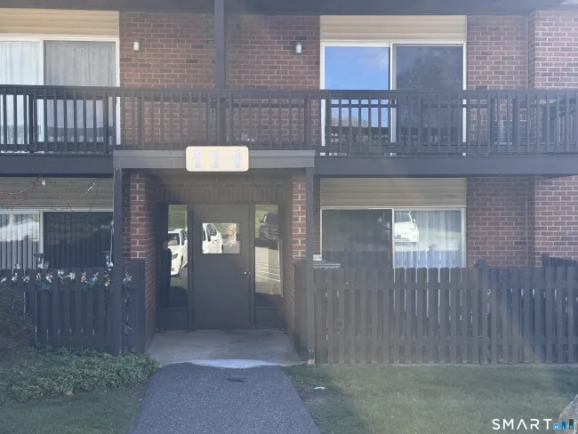

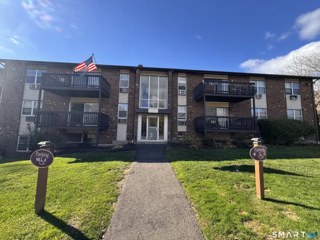
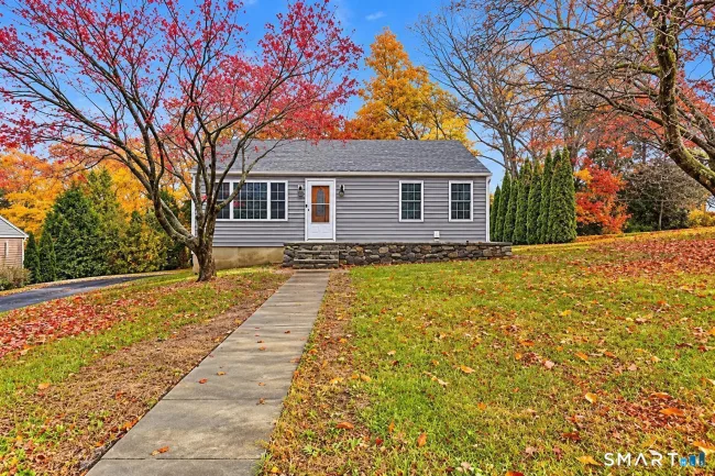
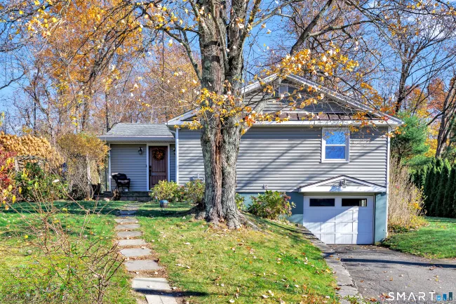
Know before you move
Official and independent sources worth bookmarking if you are considering Seymour.
Questions about Seymour
What is the median home price in Seymour, CT?
The median sale price in Seymour is $436,950, based on 188 home sales in the last 12 months (SmartMLS). Updated November 10, 2026.
What is the property tax rate in Seymour, CT?
Seymour's town-wide property tax rate is 28.64 mills (fiscal year 2027). Connecticut assesses homes at 70% of market value, so a median-priced home pays roughly $8,800 a year. Special taxing districts can add to this.
How far is Seymour, CT from Hartford?
Seymour is about 40 miles and a 56-minute drive from downtown Hartford, measured from the town center without traffic.
How far is Seymour, CT from New York City?
Seymour is about 75 miles from Midtown Manhattan, roughly a 108-minute drive without traffic.
Is there a train station in Seymour, CT?
The closest passenger rail station we have on record is Seymour (Metro-North) about 0.9 miles from the center of Seymour. Check the operator's schedule for current service.
What is the population of Seymour, CT?
Seymour has about 17,139 residents (U.S. Census Bureau estimate, 2024) and covers 14.5 square miles.
How many public schools are in Seymour, CT?
Seymour has 4 public schools in Seymour School District. Which school serves an address depends on the district's boundaries, so confirm with the district.
How many homes are for sale in Seymour, CT?
There are 43 homes for sale in Seymour right now, per SmartMLS, as of November 10, 2026.
Is there a train station in Seymour?
Yes. Seymour has a Metro-North station on the Waterbury Branch. Ansonia and Beacon Falls, also Metro-North, are 2.9 and 4 miles away in a straight line.
Which highway serves Seymour?
Route 8 runs through the town.
Why was Seymour first called Humphreysville?
The downtown village was renamed in 1804 for David Humphreys, who built a woolen mill at the Naugatuck River falls in 1803.
When was Seymour incorporated?
Seymour separated from Derby and was incorporated in May 1850, named for Governor Thomas H. Seymour.
How far is Seymour from New Haven?
New Haven is 12 miles and about 23 minutes by car.
Thinking about Seymour?
Tell us what you are looking for. A local agent will reply with honest answers and homes that fit, with no pressure.
Towns that border Seymour
Compare prices and taxes before you decide where to look.