

Living in Weston, CT
Weston is a Fairfield County town of 19.77 square miles on the Saugatuck River, with Routes 57 and 53 meeting at Weston Center and no railroad station in town.
Weston at a glance
- Median sale price
- $1,445,000+4.7% vs last year 138 sales, last 12 months
- Property tax rate
- 24.57 mills town-wide, FY2027
- Estimated yearly tax
- ~$24,900 median-priced home
- Population
- 10,490 2024 Census estimate
- Land area
- 19.8 sq mi 531 per sq mi
What it is like in Weston
Weston is in southwestern Fairfield County and borders Easton, Redding, Fairfield and Westport. The town has 19.77 square miles of land and a population of 10,490 in the facts used for this guide. The Saugatuck River runs through it.
Farmers from Fairfield settled the area in the 1600s, and Weston was incorporated in 1787. Easton separated from it in 1845. A meteor exploded over the town in 1807, and scientists studied its fragments. The town never had a railroad.
Three historic districts in Weston are on the National Register of Historic Places: Bradley Edge Tool Company, Kettle Creek and Norfield. Weston Center holds a food market, a pharmacy and other shops.
Roughly a quarter of the town is open space. Devil's Den Preserve, a 1,746-acre nature reserve, lies mostly in Weston. Other outdoor places include Bisceglie-Scribner Park, Centennial Watershed State Forest, Katherine Ordway Preserve, Devils Glen Park, Keene Park, Taylor Woods Preserve, Elisabeth Luce Moore Preserve, Tall Pines Preserve and Walter Wagner Preserve.
The Weston History & Culture Center at 104 Weston Road is in the Coley Homestead. Its grounds are open daily from dawn to dusk, and guided tours of the Coley House run on Thursdays and on the first and last Sundays of the month. CT Visit lists a Saturday farmers market at the Coley Homestead from May through September, and the Weston Volunteer Fire Department hosts the Memorial Day Parade.
Getting around from Weston
| Drive to | Time | Miles |
|---|---|---|
| Hartford | 94 min | 66 |
| New Haven | 54 min | 33 |
| Stamford | 35 min | 20 |
| New York City (Midtown) | 88 min | 55 |
| Boston | 213 min | 166 |
| Providence | 177 min | 137 |
| Bradley Airport (BDL) | 116 min | 82 |
Rail stations nearby
- Cannondale 3.2 mi Metro-North
- Wilton 4 mi Metro-North
- Branchville 4.7 mi Metro-North
Highways and routes
Routes 57 and 53 run through the town center. The Merritt Parkway is south of Weston. There is no rail station in town. The nearest Metro-North stations in our facts are Cannondale (3.2 miles in a straight line), Wilton (4.0 miles) and Branchville (4.7 miles).
Drive times from Weston are 35 minutes to Stamford (20 miles), 54 minutes to New Haven (33 miles), 88 minutes to New York City (Midtown, 55 miles), 94 minutes to Hartford (66 miles) and 116 minutes to Bradley Airport (82 miles).
Schools in Weston
4 public schools in Weston School District. Which one serves an address depends on the district, so confirm with them.
Elementary 2
- Hurlbutt
- Weston Intermediate
Middle 1
- Weston
High school 1
- Weston High School
Grades, number of students. Hover a school for its address.
For report cards, enrollment trends and spending per student, look up Weston School District on the state's EdSight site.
Source: National Center for Education Statistics, Common Core of Data. We do not rate or rank schools.
Eat, drink and explore in Weston
Open Weston in Google Maps →Things to do and see 2
-
Nonprofit-run town farm offering farming, environmental education and cultural programs, with seasonal events and markets.
-
History center in the Coley Homestead with exhibits, public programs and guided tours of the 1841 Coley House.
Parks, preserves and trails 15
Parks and open space © OpenStreetMap contributors. Places to eat and visit last checked October 2026. These are not paid placements; they are simply our selection. Hours and menus change, so check before you go.
Weston housing market
Over the last 12 months, 138 homes sold in Weston with a median sale price of $1,445,000 and a median of 21 days on market. There are 33 homes for sale right now.
Homes sold for a median of $388 per square foot. The typical home sold for 102% of its list price, and the median sale price is up 4.7% from the year before. At the current pace of sales, the homes for sale would last about 2.9 months.
Weston's town-wide property tax rate is 24.57 mills (FY2027). Connecticut assesses homes at 70% of market value, so a median-priced home pays roughly $24,900 a year. Special taxing districts, such as fire districts, can add to this, and a home's actual assessment may differ from its sale price.
Source: SmartMLS, residential sales (single-family, condo and multi-family); mill rates: Connecticut Office of Policy and Management. Updated November 10, 2026.
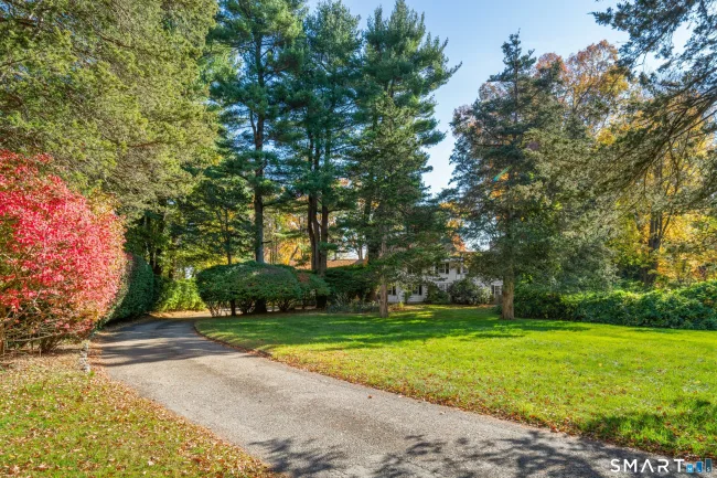
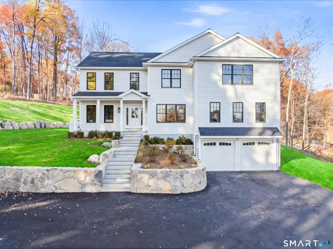
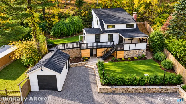
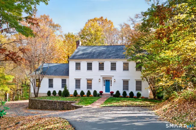
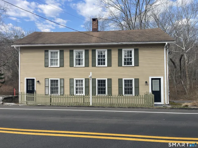
Homes for sale in Weston
See all 33 →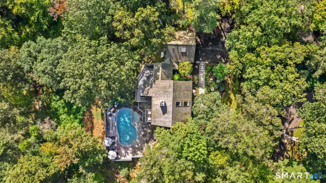

Know before you move
Official and independent sources worth bookmarking if you are considering Weston.
Questions about Weston
What is the median home price in Weston, CT?
The median sale price in Weston is $1,445,000, based on 138 home sales in the last 12 months (SmartMLS). Updated November 10, 2026.
What is the property tax rate in Weston, CT?
Weston's town-wide property tax rate is 24.57 mills (fiscal year 2027). Connecticut assesses homes at 70% of market value, so a median-priced home pays roughly $24,900 a year. Special taxing districts can add to this.
How far is Weston, CT from Hartford?
Weston is about 66 miles and a 94-minute drive from downtown Hartford, measured from the town center without traffic.
How far is Weston, CT from New York City?
Weston is about 55 miles from Midtown Manhattan, roughly a 88-minute drive without traffic.
Is there a train station in Weston, CT?
The closest passenger rail station we have on record is Cannondale (Metro-North) about 3.2 miles from the center of Weston. Check the operator's schedule for current service.
What is the population of Weston, CT?
Weston has about 10,490 residents (U.S. Census Bureau estimate, 2024) and covers 19.8 square miles.
How many public schools are in Weston, CT?
Weston has 4 public schools in Weston School District. Which school serves an address depends on the district's boundaries, so confirm with the district.
How many homes are for sale in Weston, CT?
There are 33 homes for sale in Weston right now, per SmartMLS, as of November 10, 2026.
Is there a train station in Weston?
No. The nearest Metro-North stations in our facts are Cannondale (3.2 miles in a straight line), Wilton (4.0 miles) and Branchville (4.7 miles).
How far is Weston from New York City?
About 88 minutes by car to Midtown, or 55 miles.
What nature preserves are in Weston?
Devil's Den Preserve, Katherine Ordway Preserve, Taylor Woods Preserve, Elisabeth Luce Moore Preserve, Tall Pines Preserve and Walter Wagner Preserve, among others.
Which roads run through Weston?
Routes 57 and 53 run through the town center, and the Merritt Parkway is south of town.
What historic sites can I visit in Weston?
The Weston History & Culture Center at 104 Weston Road, in the Coley Homestead, offers exhibits and guided tours of the 1841 Coley House.
Thinking about Weston?
Tell us what you are looking for. A local agent will reply with honest answers and homes that fit, with no pressure.
Towns that border Weston
Compare prices and taxes before you decide where to look.