

Living in Simsbury, CT
Simsbury is a Hartford County town of about 34 square miles at the northern end of the Farmington Valley, with Talcott Mountain on its east side and Hopmeadow Street as its main road.
Simsbury at a glance
- Median sale price
- $569,000+13.8% vs last year 313 sales, last 12 months
- Property tax rate
- 33.67 mills town-wide, FY2027
- Estimated yearly tax
- ~$13,400 median-priced home
- Population
- 25,353 2024 Census estimate
- Land area
- 33.9 sq mi 747 per sq mi
What it is like in Simsbury
Simsbury is in Hartford County and borders Canton, Bloomfield and East Granby. It covers 33.93 square miles and had a population of 25,353 in the facts on file. Talcott Mountain, part of the Metacomet Ridge, flanks the east side, and the Farmington River runs through town, including the Tariffville Gorge.
The Connecticut General Court incorporated the town on May 12, 1670. Hopmeadow Street is the historic corridor, with Eno Memorial Hall at 754 Hopmeadow Street and the Phelps Tavern, built in 1771, at number 800. Simsbury also has historic districts at Simsbury Center, East Weatogue, Tariffville and Terry's Plain.
Talcott Mountain State Park holds Heublein Tower, and Penwood and Stratton Brook State Parks are also in town. The 51-mile Metacomet Trail follows the ridge, and the Farmington Canal Heritage Trail runs through Simsbury. Belden Forest, 40 acres near the town center, joined the Old-Growth Forest Network in 2019.
Local parks from the town facts include West Mountain Park, Memorial Park, Curtiss Park, Tariffville Park, Meadow Pond and the Simsbury Farms Recreation Complex. Hopmeadow Street has places to eat such as Maple Tree Cafe and Popover Bistro & Bakery, and Talcott Mountain Collective on Nod Road offers food trucks and live music. The Simsbury Historical Society runs the Phelps Tavern Museum.
Getting around from Simsbury
| Drive to | Time | Miles |
|---|---|---|
| Hartford | 30 min | 14 |
| New Haven | 72 min | 45 |
| Stamford | 124 min | 84 |
| New York City (Midtown) | 173 min | 121 |
| Boston | 150 min | 113 |
| Providence | 128 min | 88 |
| Bradley Airport (BDL) | 39 min | 16 |
Rail
No passenger rail station within 8 miles.
Highways and routes
Hopmeadow Street, which carries U.S. 202, is the main road through the town center. Simsbury Airport is a public-use airport shared with East Granby. The facts on file list no rail station for Simsbury.
By car, Hartford is 30 minutes (14 miles), Bradley Airport 39 minutes (16 miles), New Haven 72 minutes (45 miles), Boston 150 minutes and Midtown Manhattan 173 minutes (121 miles).
Schools in Simsbury
7 public schools in Simsbury School District. Which one serves an address depends on the district, so confirm with them.
Elementary 5
- Central
- Latimer Lane
- Squadron Line
- Tariffville
- Tootin' Hills
Middle 1
- Henry James Memorial
High school 1
- Simsbury High School
Grades, number of students. Hover a school for its address.
For report cards, enrollment trends and spending per student, look up Simsbury School District on the state's EdSight site.
Source: National Center for Education Statistics, Common Core of Data. We do not rate or rank schools.
Eat, drink and explore in Simsbury
Open Simsbury in Google Maps →Eat and drink 4
-
American and Italian restaurant open daily, with a gluten-free menu, banquets, online pickup and draft beer.
-
Restaurant on Hopmeadow Street serving Italian dishes, house-made breads and pasta, and burgers, with live music Friday and Saturday.
-
American bistro serving lunch and dinner Tuesday through Saturday, with takeout and gift cards.
-
Bakery and bistro on Hopmeadow Street serving breakfast and lunch on weekdays and shorter weekend hours.
Things to do and see 3
-
Ice skating facility in Simsbury with rinks used for lessons, skating programs and events.
-
Historic tavern built in 1771 on the Simsbury Historical Society grounds, listed on the National Register of Historic Places.
-
Outdoor venue at the foot of Talcott Mountain with rotating food trucks, craft beverages, lawn games and live music.
Parks, preserves and trails 49
Show 35 more parks and conservation parcels
Parks and open space © OpenStreetMap contributors. Places to eat and visit last checked October 2026. These are not paid placements; they are simply our selection. Hours and menus change, so check before you go.
Simsbury housing market
Over the last 12 months, 313 homes sold in Simsbury with a median sale price of $569,000 and a median of 5 days on market. There are 37 homes for sale right now.
Homes sold for a median of $252 per square foot. The typical home sold for 107% of its list price, and the median sale price is up 13.8% from the year before. At the current pace of sales, the homes for sale would last about 1.4 months.
Simsbury's town-wide property tax rate is 33.67 mills (FY2027). Connecticut assesses homes at 70% of market value, so a median-priced home pays roughly $13,400 a year. Special taxing districts, such as fire districts, can add to this, and a home's actual assessment may differ from its sale price.
Source: SmartMLS, residential sales (single-family, condo and multi-family); mill rates: Connecticut Office of Policy and Management. Updated November 10, 2026.
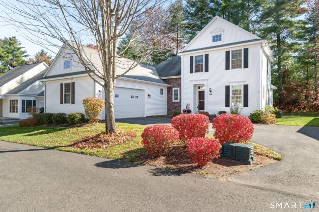
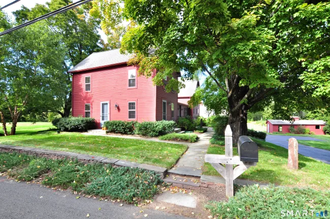
Homes for sale in Simsbury
See all 37 →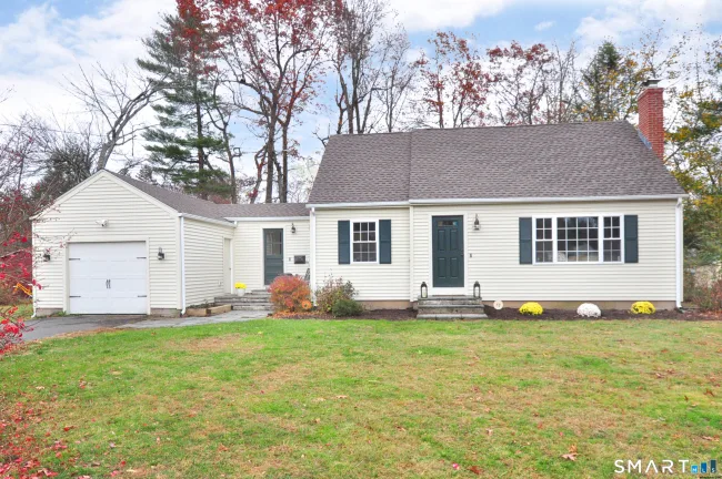

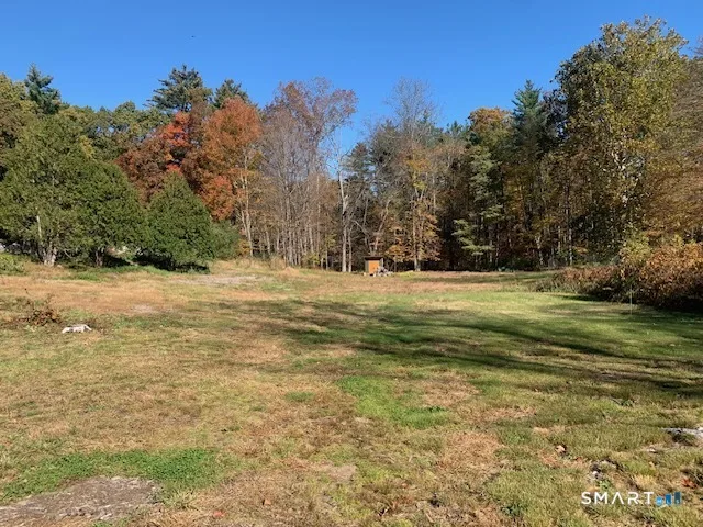
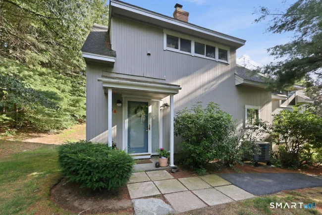
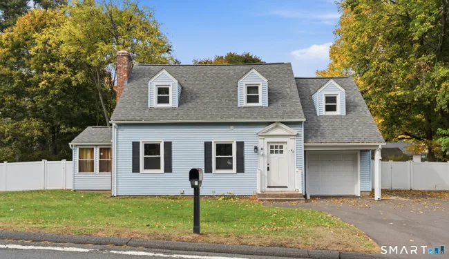
Know before you move
Official and independent sources worth bookmarking if you are considering Simsbury.
Questions about Simsbury
What is the median home price in Simsbury, CT?
The median sale price in Simsbury is $569,000, based on 313 home sales in the last 12 months (SmartMLS). Updated November 10, 2026.
What is the property tax rate in Simsbury, CT?
Simsbury's town-wide property tax rate is 33.67 mills (fiscal year 2027). Connecticut assesses homes at 70% of market value, so a median-priced home pays roughly $13,400 a year. Special taxing districts can add to this.
How far is Simsbury, CT from Hartford?
Simsbury is about 14 miles and a 30-minute drive from downtown Hartford, measured from the town center without traffic.
How far is Simsbury, CT from New York City?
Simsbury is about 121 miles from Midtown Manhattan, roughly a 173-minute drive without traffic.
What is the population of Simsbury, CT?
Simsbury has about 25,353 residents (U.S. Census Bureau estimate, 2024) and covers 33.9 square miles.
How many public schools are in Simsbury, CT?
Simsbury has 7 public schools in Simsbury School District. Which school serves an address depends on the district's boundaries, so confirm with the district.
How many homes are for sale in Simsbury, CT?
There are 37 homes for sale in Simsbury right now, per SmartMLS, as of November 10, 2026.
How far is Simsbury from Hartford?
Hartford is 14 miles, about 30 minutes by car.
How far is Bradley Airport?
Bradley Airport is 16 miles, about 39 minutes by car.
What is the main road?
Hopmeadow Street (U.S. 202) is the main historic corridor through the town center.
Where can I hike?
Talcott Mountain State Park, Penwood State Park, Stratton Brook State Park and the Metacomet Trail are in town.
Which towns border Simsbury?
Canton, Bloomfield and East Granby.
Thinking about Simsbury?
Tell us what you are looking for. A local agent will reply with honest answers and homes that fit, with no pressure.
Towns that border Simsbury
Compare prices and taxes before you decide where to look.